Mount Airy - Westfield Loop
click the drawer icon to navigate map
Mount Airy - Westfield Loop
Mount Airy
34 miles
Intermediate
Stats
1,700 ft.
992 ft.
2,763
2,614
8.6%
10%
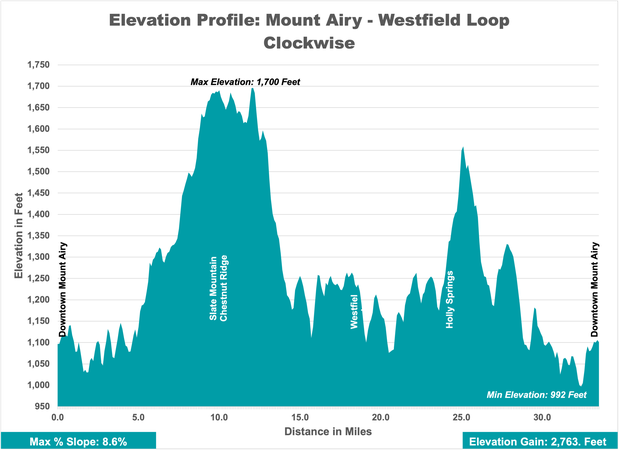
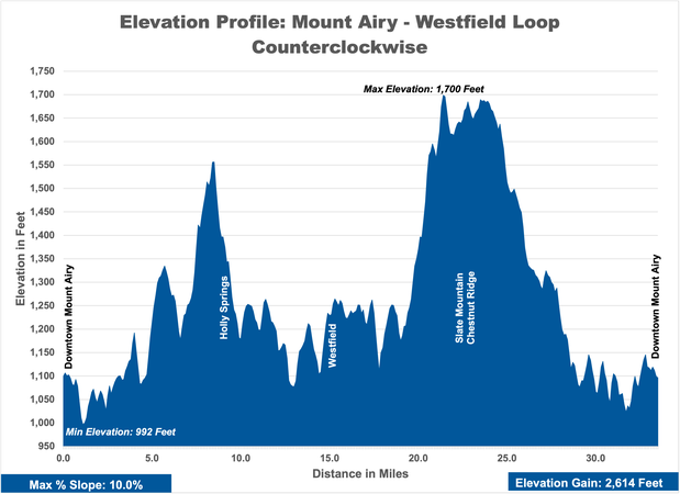
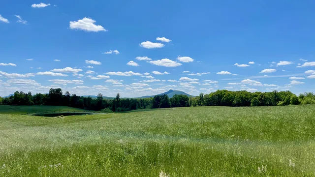
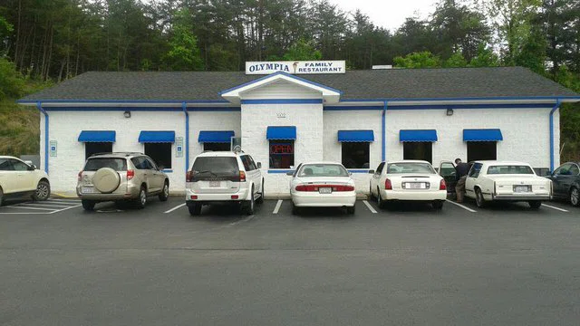
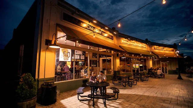
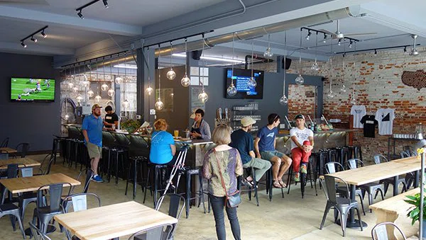
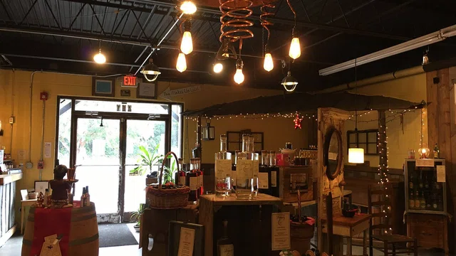
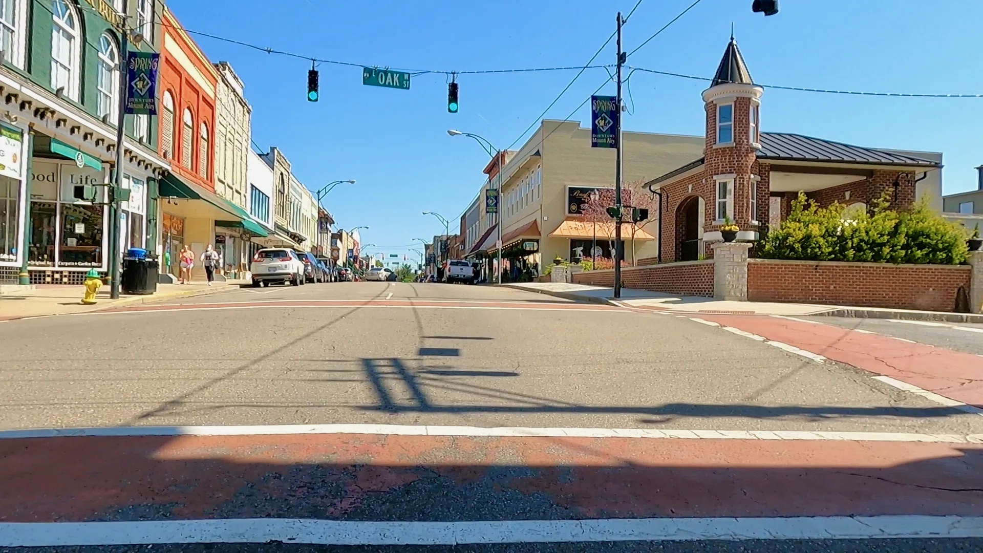
Throughout this route riders will experience a mixture of urban and rural areas as they ride through the Town of Mount Airy and the rural community of Westfield. The terrain will offer riders a challenge as they roll along the hills of this scenic area of the county. After their ride, cyclists can enjoy one of the many great restaurants in downtown Mount Airy or enjoy a post ride libation at Old North State Winery, Thirsty Souls Brewing, and White Elephant Beer Company.
Feeling strong? Take the Siloam Connector to the Mount Airy - Pilot Mountain Loop
Connected Loops
Directions
Mt. Airy - Westfield Loop - Directions - CWDirections
Mt. Airy - Westfield Loop - Directions - CCWParking Recommendations
Public Parking Lot on Main Street adjacent to Old North State Winery
Public Parking on Virginia Street
Provisions & Restrooms
Points of Interest
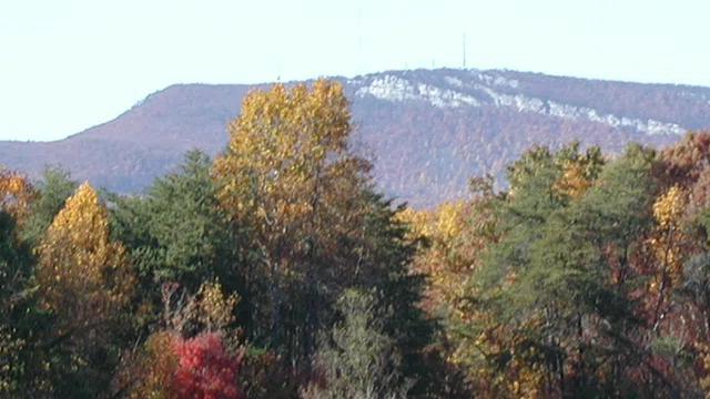
View of Sauras Mountains

Markers for Chestnut Ridge and Slate Mountain Early Farmers
Stop Along the Way
Looking for more?
Check out more Loops
